
Division 01
Subsurface GPR & Magnetometry
Peat depth, subterranean strata, bedrock mapping and utility corridors without ground disruption — up to 50+ km flown by drone.
Subsurface Intelligence. Grounded in Precision.
Specialized remote sensing, high-resolution subsurface GPR, LiDAR, and environmental mapping for critical infrastructure, energy grids, and habitat restoration.
Specialist Divisions
Every division runs the same instrumentation standard, the same flight-safety governance and the same GIS-ready data handover — so multi-discipline schemes stay coordinate-consistent from first flight to final deliverable.
Division 01
Peat depth, subterranean strata, bedrock mapping and utility corridors without ground disruption — up to 50+ km flown by drone.
Division 02
Sub-canopy terrain modelling, asset clearance surveying, volume analysis and exact bare-earth elevation profiles.
Division 03
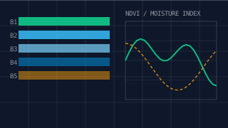
Multispectral and hyperspectral environmental mapping, vegetative stress analysis, moisture patterns and carbon accounting.
Division 04
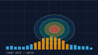
Non-contact aerial radiation detection, contamination tracking and natural or industrial radiological site mapping.
Division 05
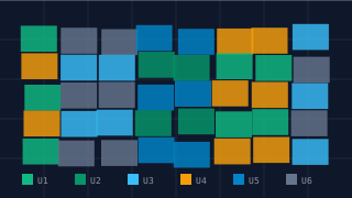
Peatland restoration profiling, UKHab classifications, environmental health tracking and defensible carbon baselining.
Featured Case Studies
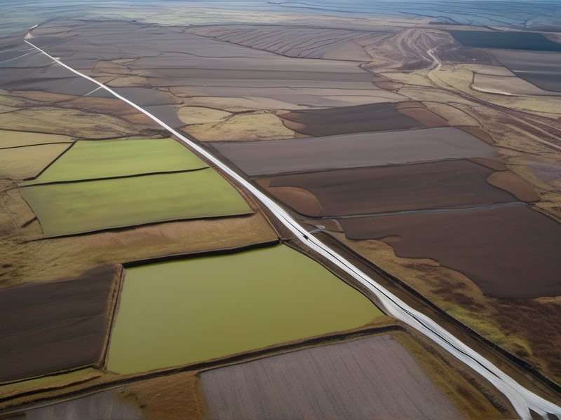
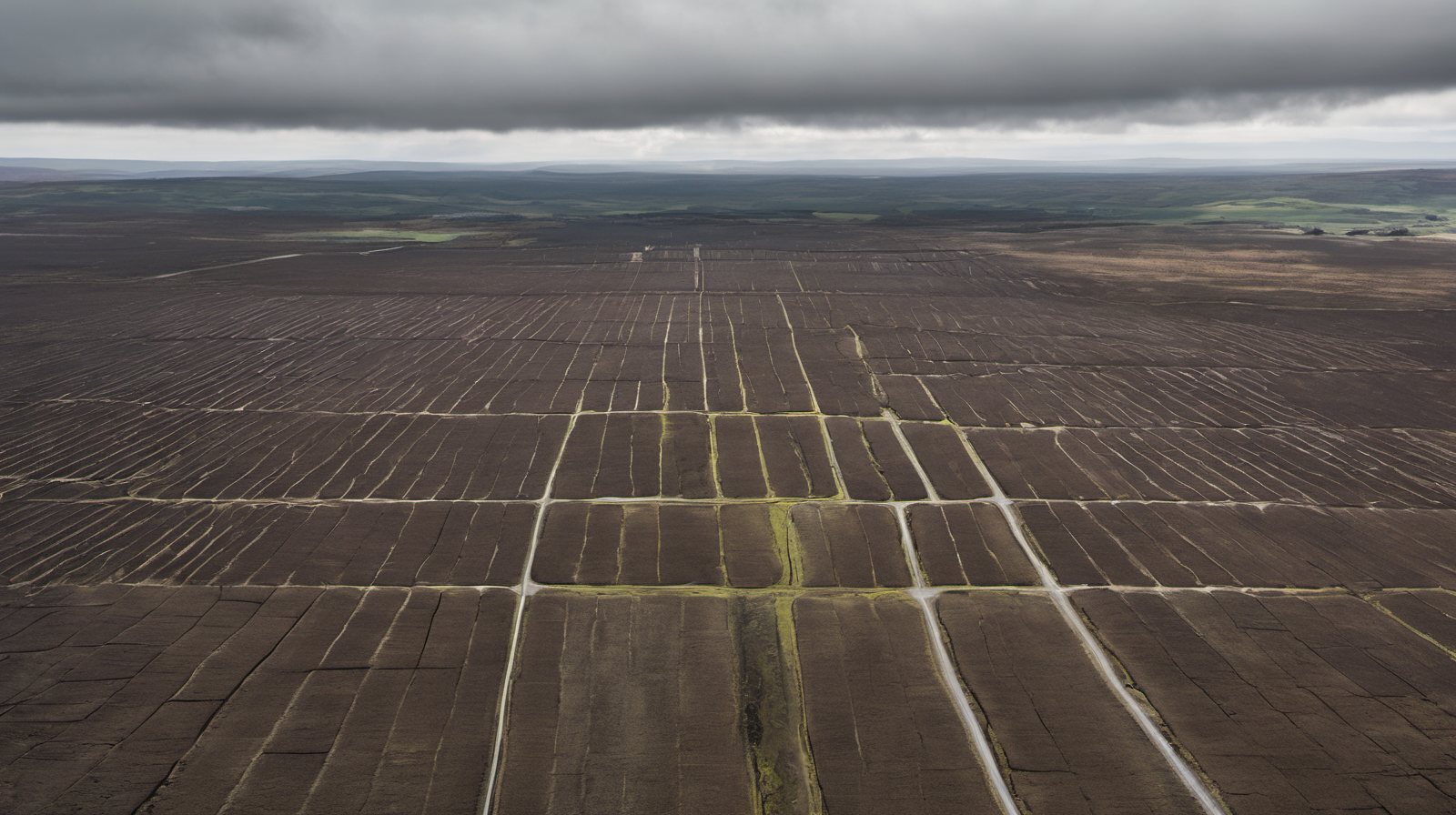
Fifty kilometres of drone-mounted ground penetrating radar measured peat depth over bedrock along an active transmission route — quantifying peat volume, locating the utility corridor and confirming competent strata for pylon foundation design, while producing the baseline used to guide restoration works.
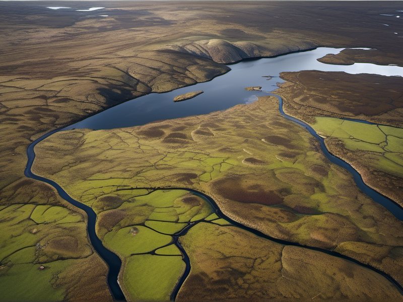
More than two thousand hectares of LiDAR, RGB and thermal imaging flown over exposed, wind-limited terrain — delivering a single co-registered spatial baseline for habitat condition, hydrology and asset clearance across a remote northern site.
Research & Collaboration
A formal memorandum of understanding puts advanced academic payloads into operational flight: Bristol provides the specialised drone-mounted radiological sensor programme, StrataVance operates the missions, and academic analysis validates every reading before it reaches a client.
“Enterprise geospatial delivery backed by academic data validation — so Tier-1 clients receive interpretation they can defend in front of a regulator.”