
01
Radiological site characterisation
Baseline mapping before development or handover on contentious land.
Non-contact aerial detection and mapping of radiological conditions, run through a formal academic sensor programme and validated before anything reaches a regulator.
Our radiological capability is built on a formal memorandum of understanding with the University of Bristol sensor programme: specialised detector payloads, flown and operated by StrataVance, with academic analysis validating every reading before a result is issued.
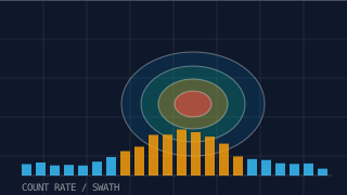
Flown swaths record natural and anomalous radiation across a site, separating geology-driven background from genuine anomalies. That distinction — between natural variation and something worth investigating — is exactly the interpretation a desktop exercise cannot deliver.
Count-rate and dose maps are delivered with full method statements, uncertainty and validation notes, so the output stands up to scrutiny in front of clients, landowners and regulators.
 Division 04
Method
Site history, permissions and flight safety case agreed; detector configuration set.
Swath lines flown with altitude, speed and count-rate quality control in real time.
Readings corrected, mapped and validated through the University of Bristol programme.
Dose, count-rate and anomaly maps issued with method statement.
Deliverables
Detection you can defend, not numbers in isolation.
Typically Applied To
01
Baseline mapping before development or handover on contentious land.
02
Rapid, non-contact delineation of affected areas.
03
Separating geological background from features of interest.
Continue Reading